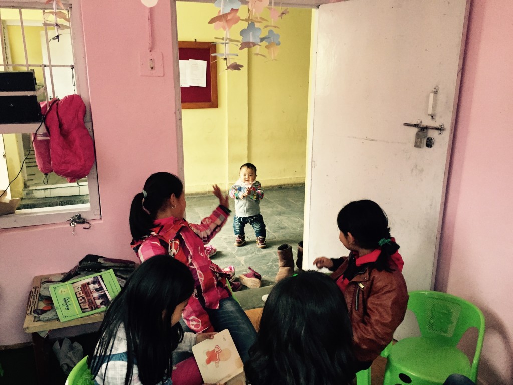
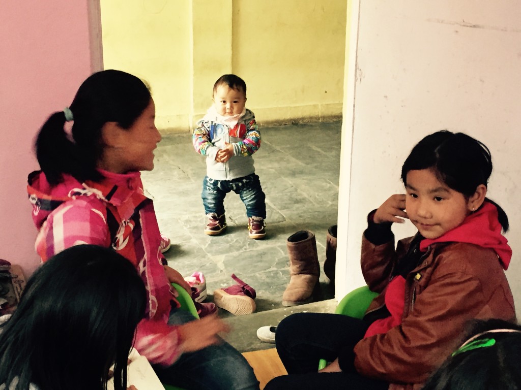
What A World Map Gives A Child In A Reading Room
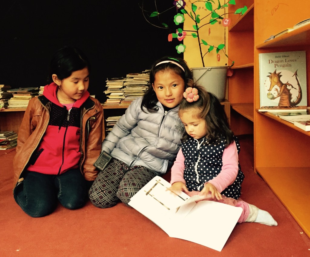
A world map can change the atmosphere of a reading room. It turns a wall into an invitation, linking a child’s immediate surroundings with distant cities, oceans, languages and landscapes. In a community where books may be limited, a large map can begin a journey before a child has opened a cover.
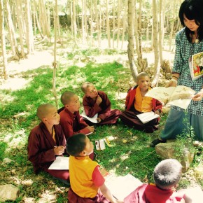
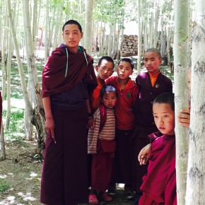
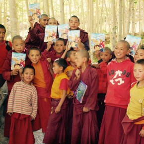
For children and young monks in Ladakh and other Himalayan communities, this visual resource carries special meaning. Their daily lives may be shaped by high mountain passes, long travel distances and close-knit villages, yet the map shows that their experiences belong to a much larger human story. A small room becomes connected to Nairobi, Melbourne, Kathmandu, Reykjavík and countless places still unknown.
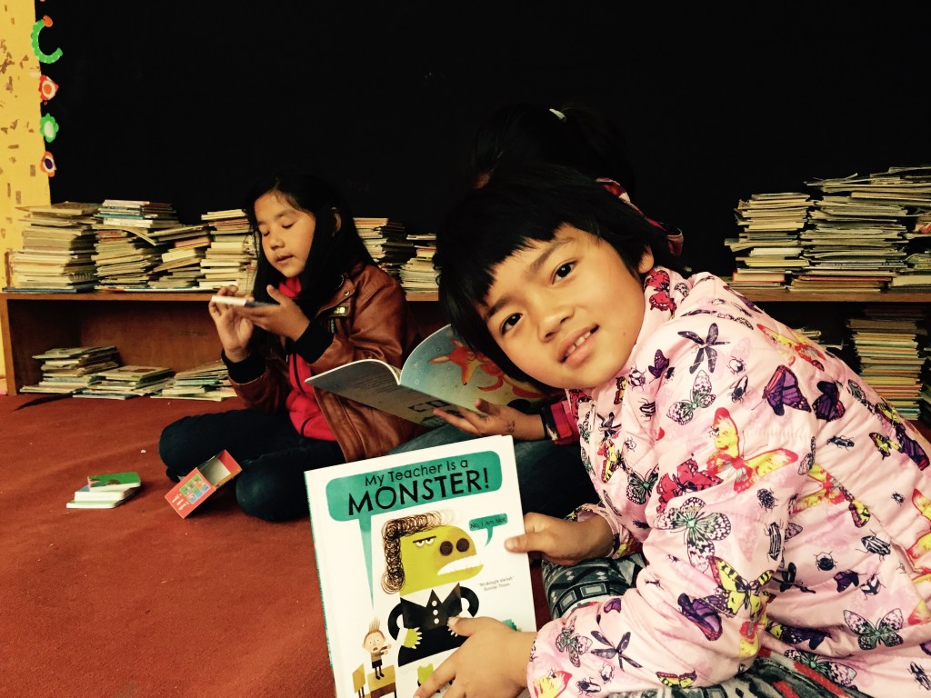
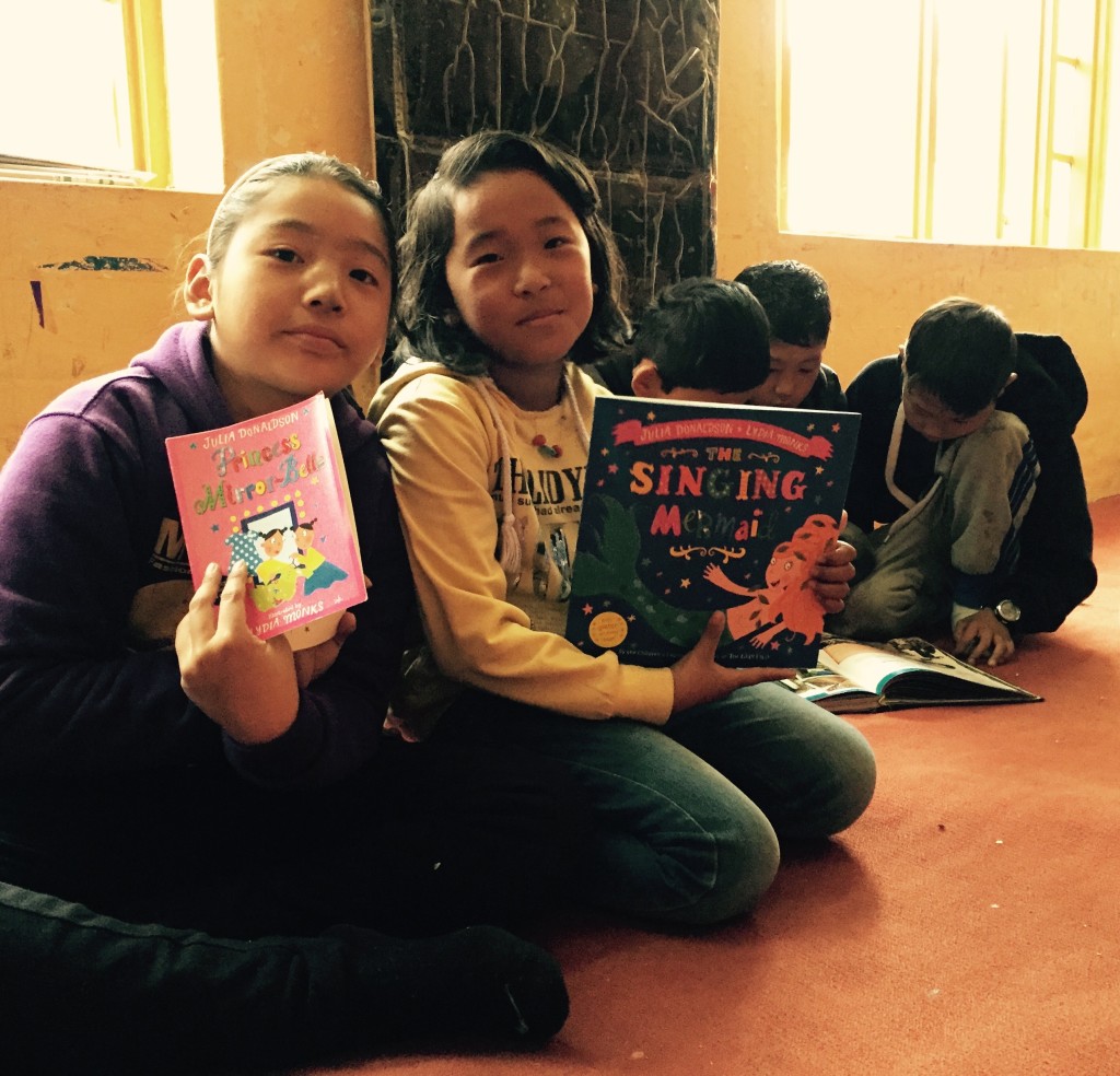
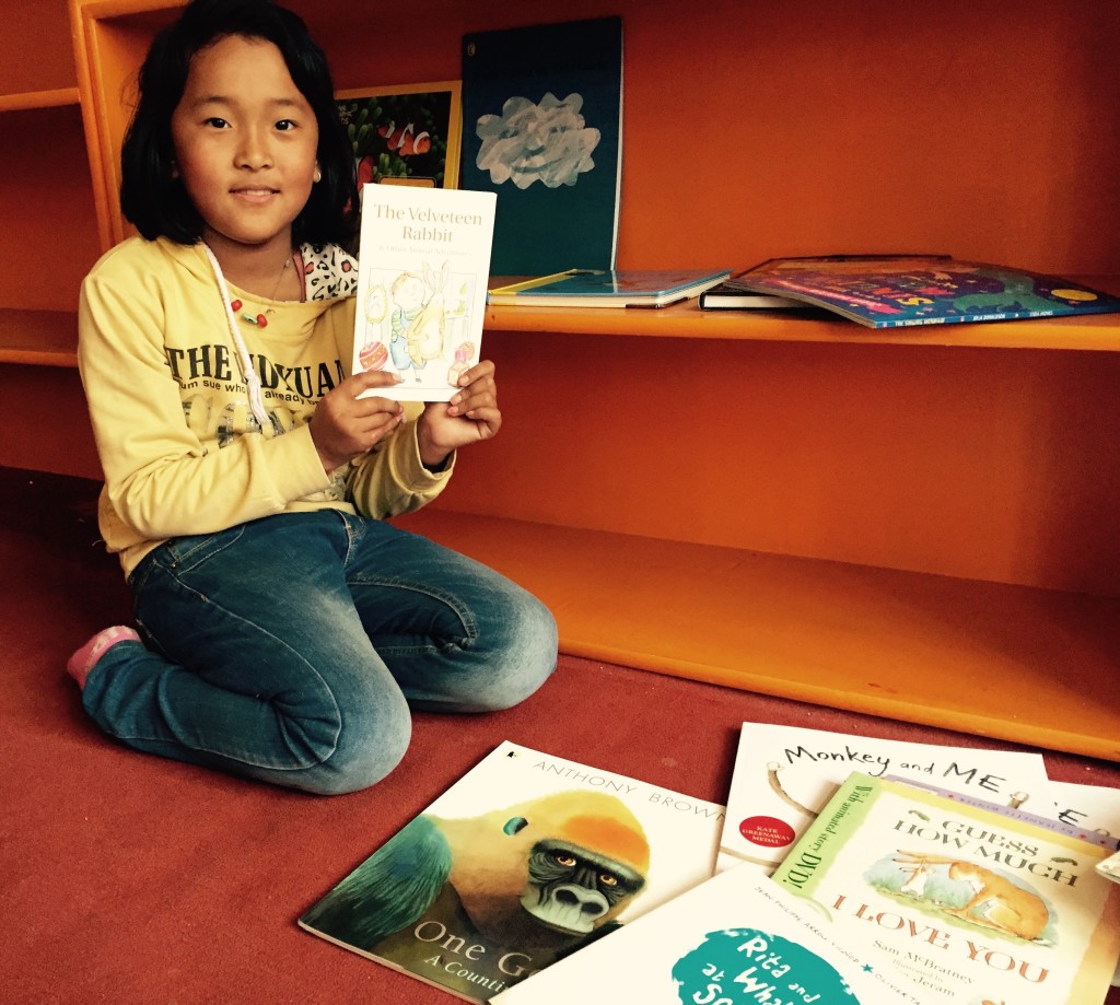
Avalokiteśvara Trust supports reading rooms, book drives and creative learning because access to ideas can widen a child’s sense of possibility. A world map strengthens that work through geography, storytelling and conversation. It encourages children to ask where people live, how they travel, what languages they speak and how one place is connected to another.
A Wall That Opens Into The World
A map gives shape to words that children may encounter in books. “Island”, “desert”, “border” and “ocean” stop being abstract terms when a child can point to them. A story about a polar expedition becomes easier to imagine beside the southern ice, while a folktale from Africa or South America gains a location beyond the page.
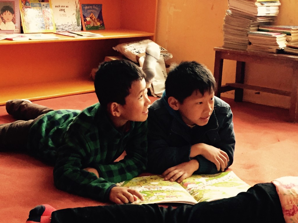
This visual connection supports independent reading. A child who notices a place name in a book may return to the map, trace a route and search for other stories from the same region. The process is simple, yet it creates a habit of inquiry: read, locate, wonder, and read again.
The map also gives children permission to imagine themselves moving through the world. They might picture becoming a writer in Delhi, an artist in Sydney, a scientist in Perth or a teacher in their own village. Imagination does not require immediate travel. It begins when a child understands that the world contains more possibilities than the familiar horizon.
Geography Becomes A Human Story
A map can teach facts, but its deeper value lies in the relationships it reveals. Mountains influence settlement, rivers connect communities, and coastlines shape trade and food. When children compare the Himalayas with the Australian Alps or the dry plateaus of Ladakh with the interior of Western Australia, geography becomes connected to human choices and daily life.
For a young monk, a map may prompt reflection on pilgrimage routes, monasteries and the movement of teachings across Asia. For another child, it may raise questions about migration, family history or the different languages heard in a nearby market. These conversations help children see places as lived environments rather than coloured shapes.
Map-based discussion can also nurture respect. Children learn that no country is simply a label or a destination. Each contains many communities, traditions and experiences. A reading room can therefore become a place where curiosity replaces assumption and where distant people are approached through stories, not stereotypes.
Small Activities With A Wide Reach
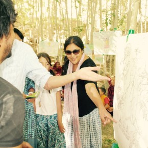
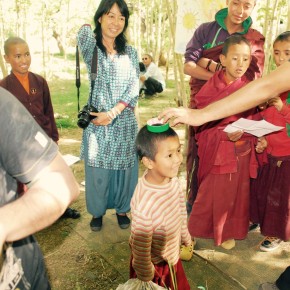
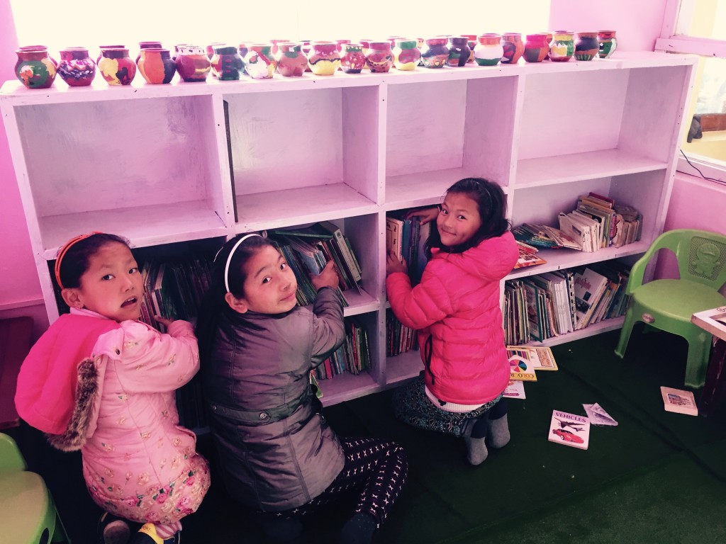
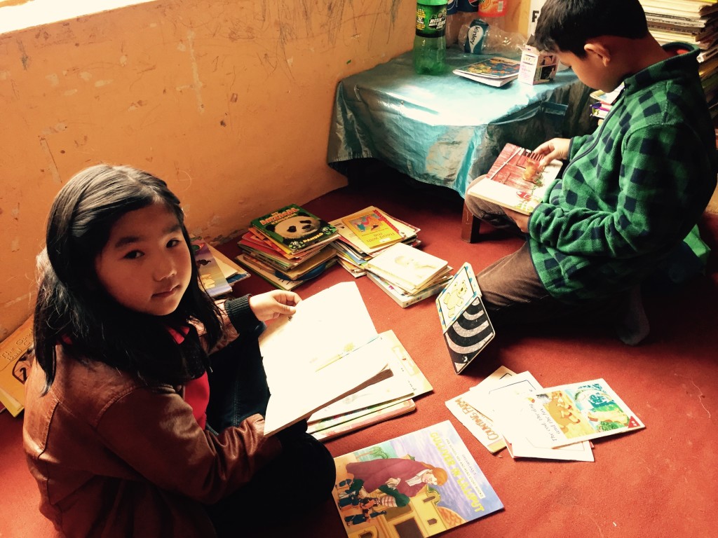
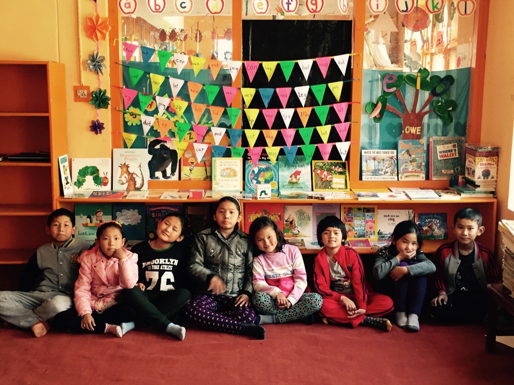
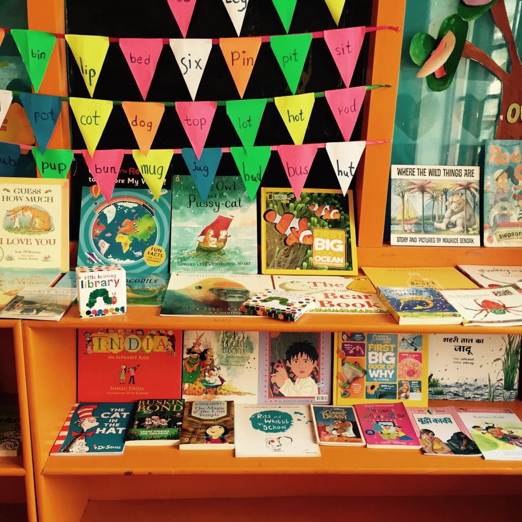
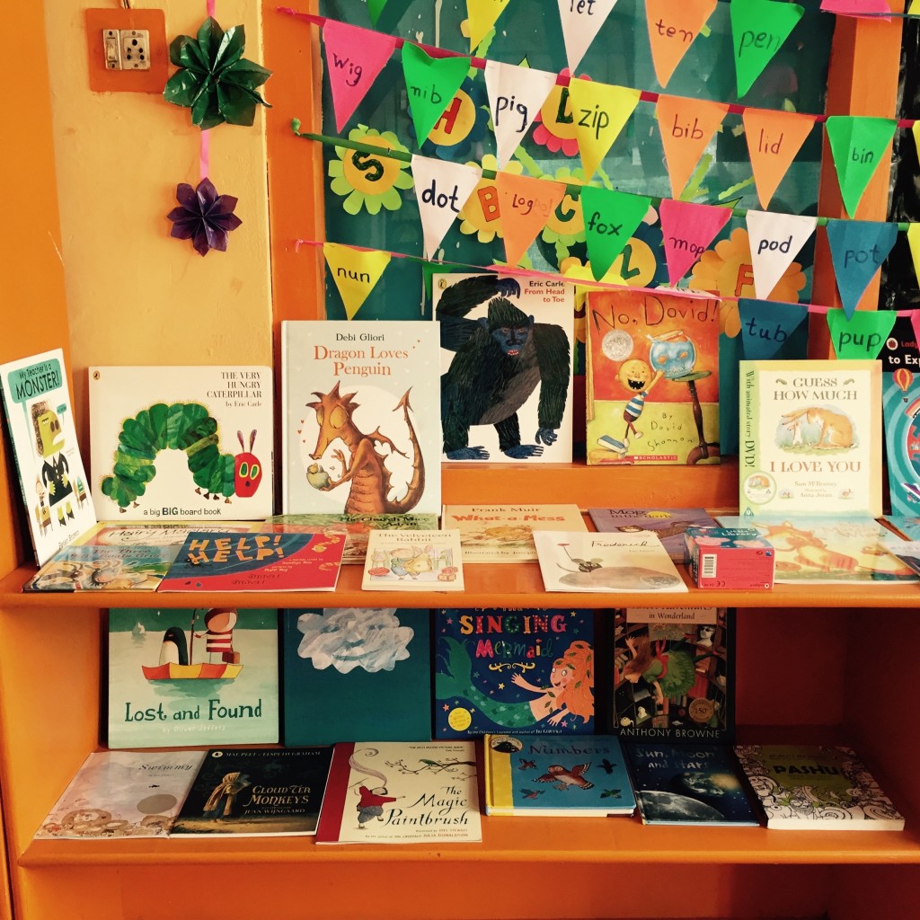
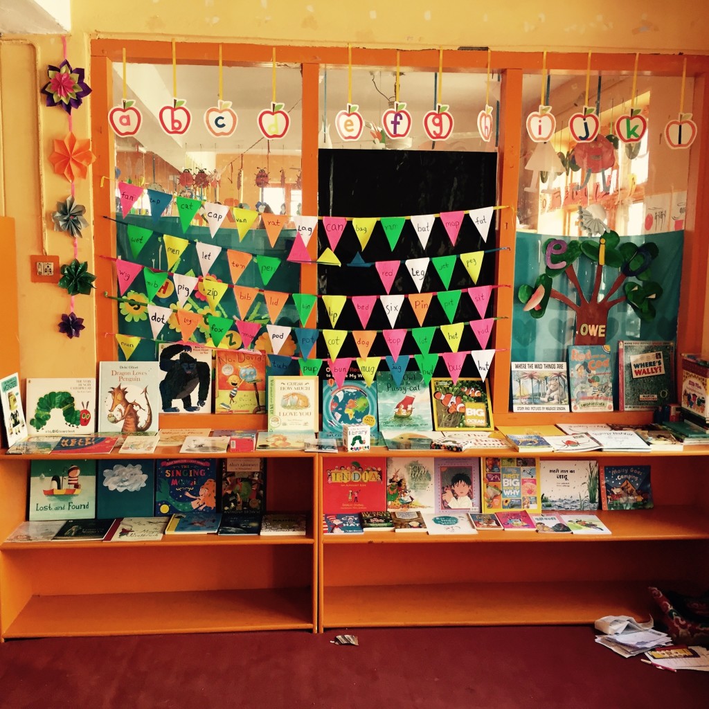
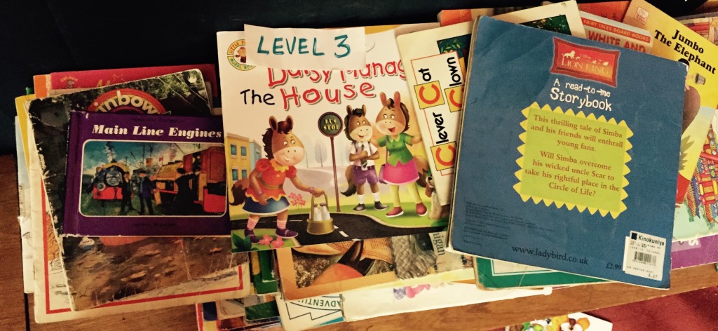
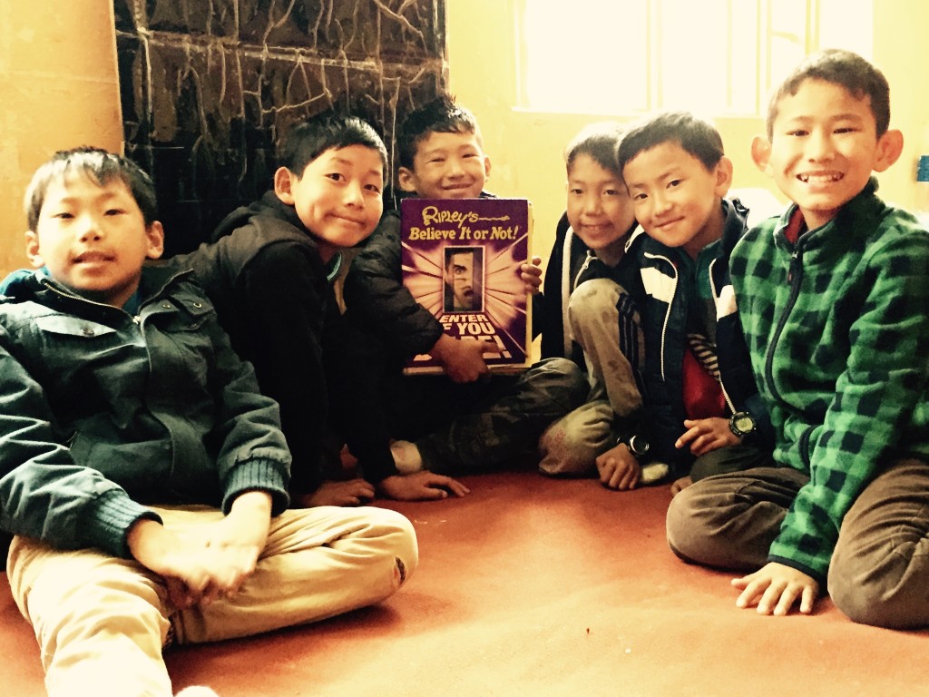
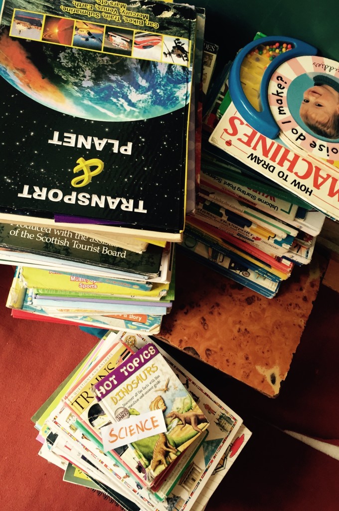
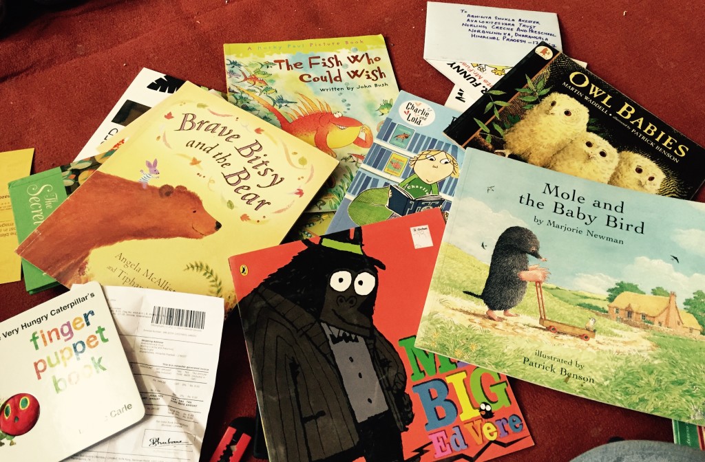
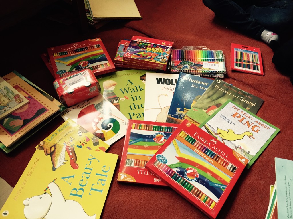
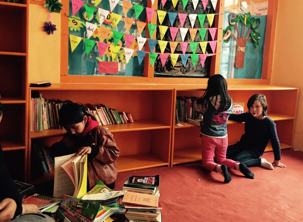
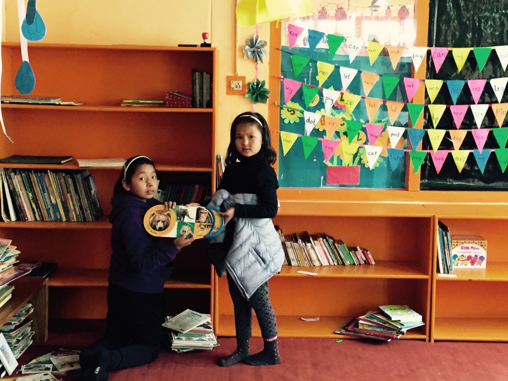
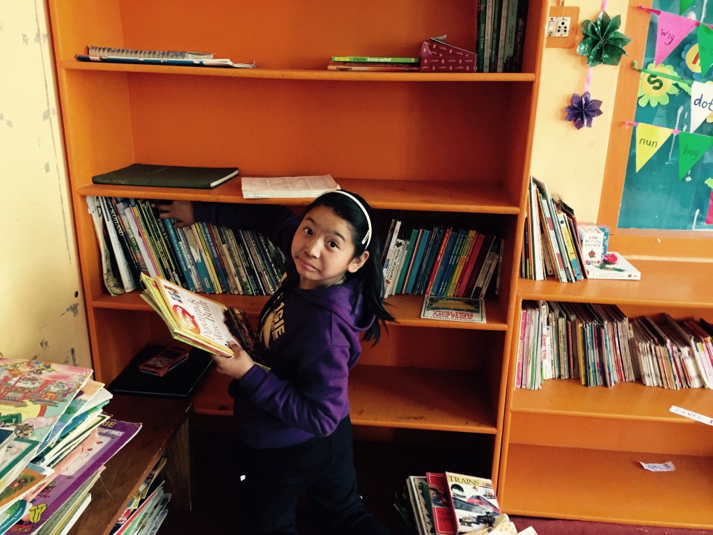
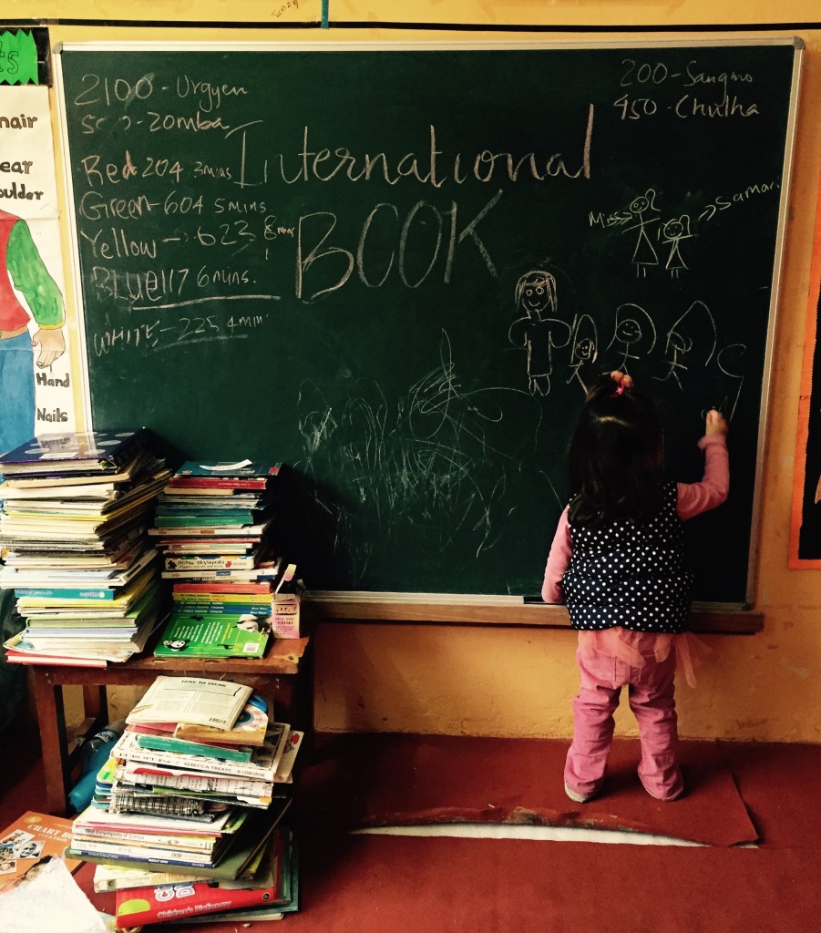
A world map works best when children are invited to use it actively. It can sit beside atlases, novels, picture books, postcards and handmade drawings. Educators and volunteers can encourage short activities that connect reading with movement, memory and artistic expression.
Useful map-based activities include:
- Marking the setting of each story with a coloured pin or thread
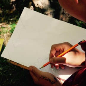
- Drawing an imaginary journey between two places in a book
- Comparing local weather with conditions in another region
- Learning greetings, place names and common words from different languages
- Creating a wall of animals, foods or musical instruments by continent
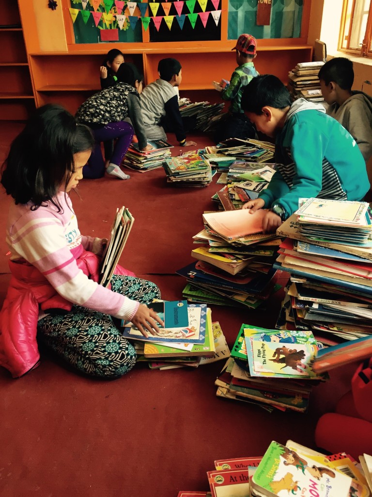
These activities suit mixed-age groups because each child can participate at a different level. A younger reader may match a picture to a country, while an older student may calculate distances, investigate climate or research why a city developed beside a river.
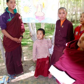
The map can also support music and art sessions. Children might listen to instruments from different regions, paint a landscape inspired by a travel story or design a set of flags using researched symbols. Literacy becomes part of a broader creative practice, allowing children who are still developing reading confidence to contribute through drawing, performance and discussion.
Connecting Ladakh With Australian Curiosity
Australian supporters can understand the value of this resource through familiar places. A child in Melbourne might know the routine of a weekend visit to the local library, while a child in Sydney may encounter many languages on the school run or at a neighbourhood market. A map helps connect those ordinary experiences with communities in Ladakh, Nepal and other Himalayan regions.
Australia’s geography also offers rich comparisons. The scale of the country, the distance between Perth and Brisbane, the tropical north and the dry interior all provide starting points for conversations about travel, climate and settlement. Children can compare the road between a remote Himalayan village and a larger town with the long journeys many Australian families make between regional centres.
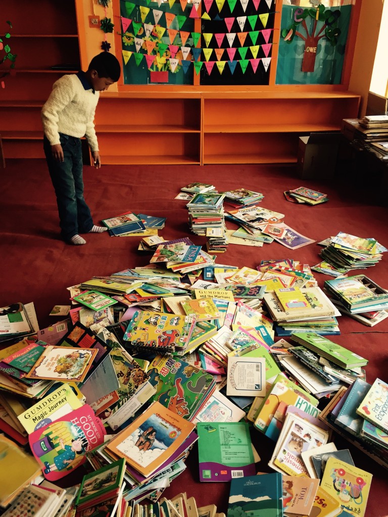
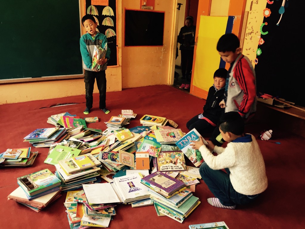
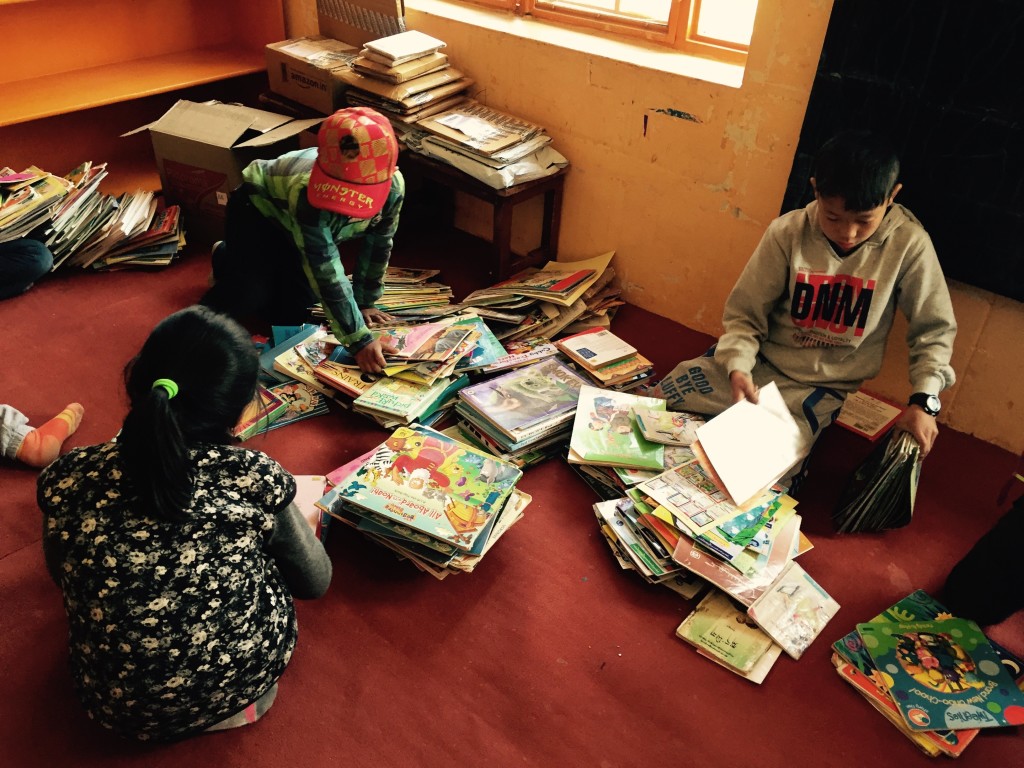
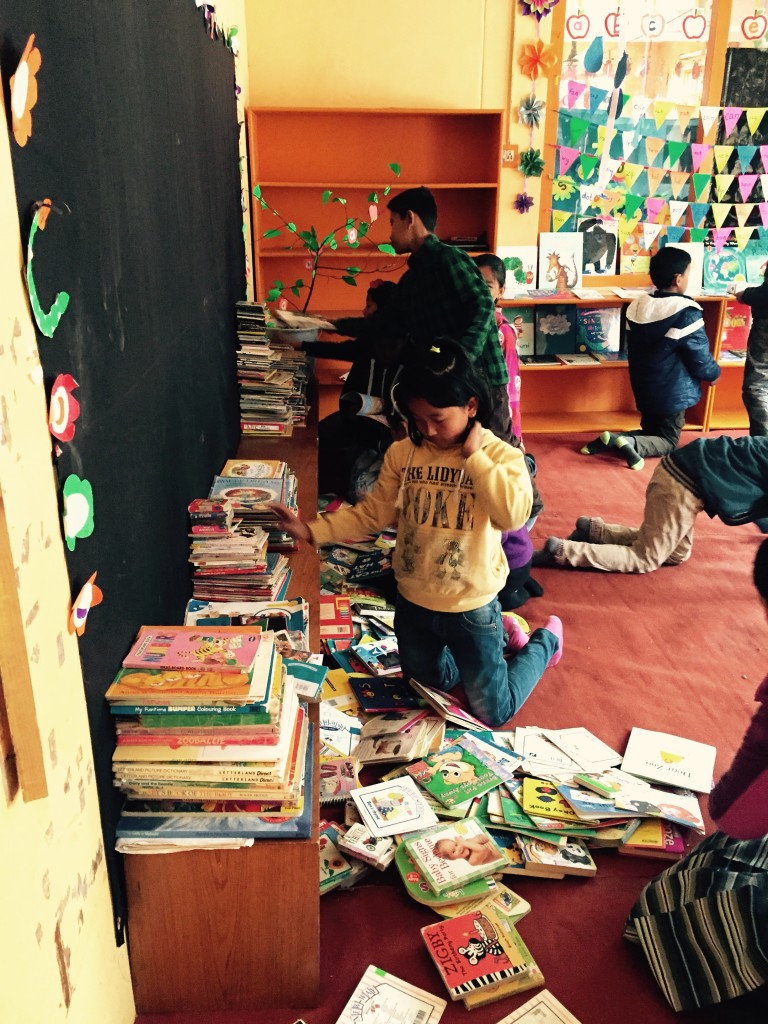
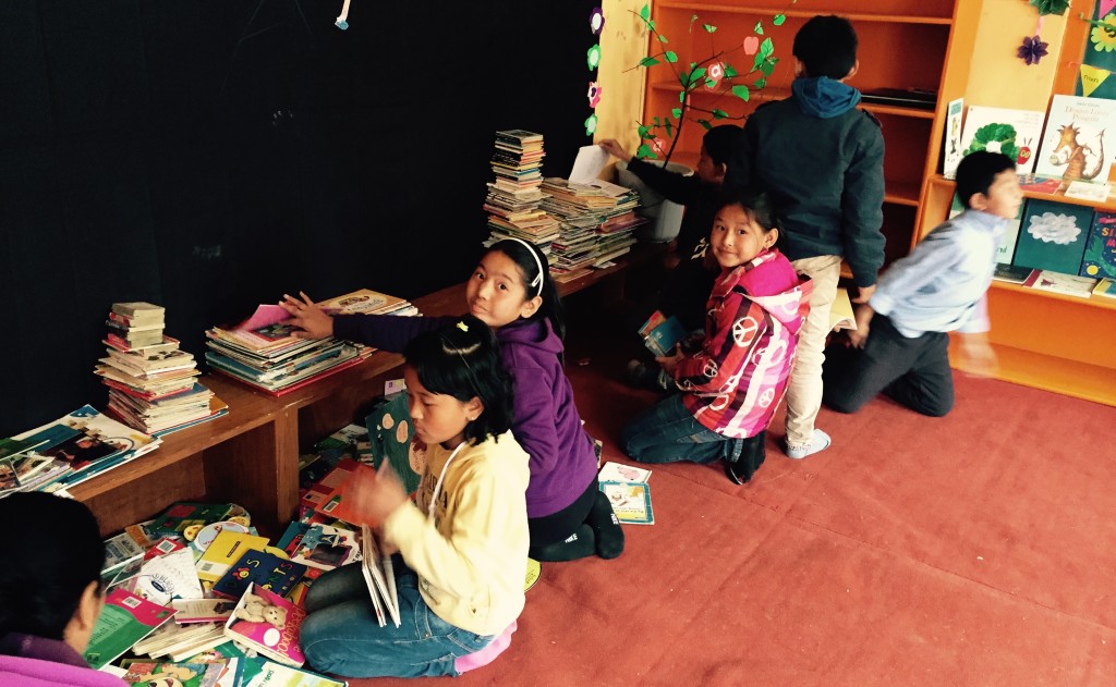
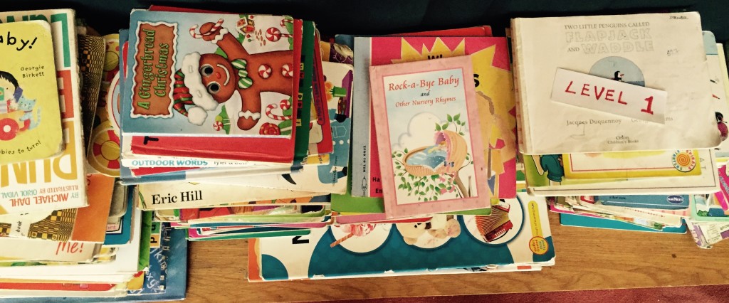
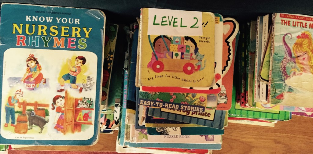
There is a practical reason for Australian donors to value well-stocked reading rooms. New books can be costly, especially when imported resources, freight and currency exchange are involved. Book fairs, council libraries, school collections and op shops often provide accessible second-hand materials, but remote Himalayan communities may have far fewer ways to build a varied collection. A carefully selected donation can therefore have lasting value.
Australian supporters should also consider how children’s images and stories are handled. The Australian Privacy Act 1988 and the National Principles for Child Safe Organisations provide useful guidance around privacy, consent and respectful participation. The Australian Charities and Not-for-profits Commission encourages transparency in charitable operations. Responsible partnerships protect children while helping supporters see the educational purpose behind each reading room.
Designing A Map For Shared Discovery
A useful map does not need to be expensive or technologically advanced. It needs to be clear, durable, large enough for group use and placed where children can reach it. Laminated paper, fabric or painted boards may suit different rooms and climates. Local names and regional geography should be represented accurately, with space for children to add notes and illustrations.
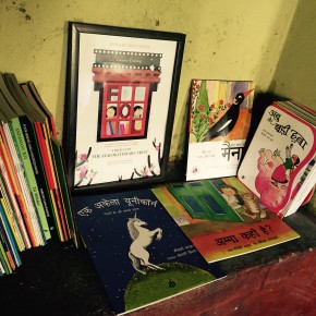
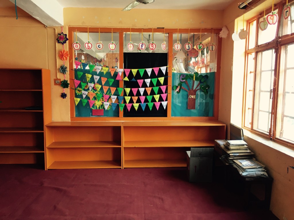
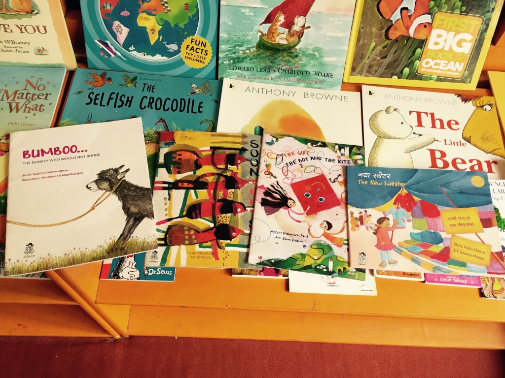
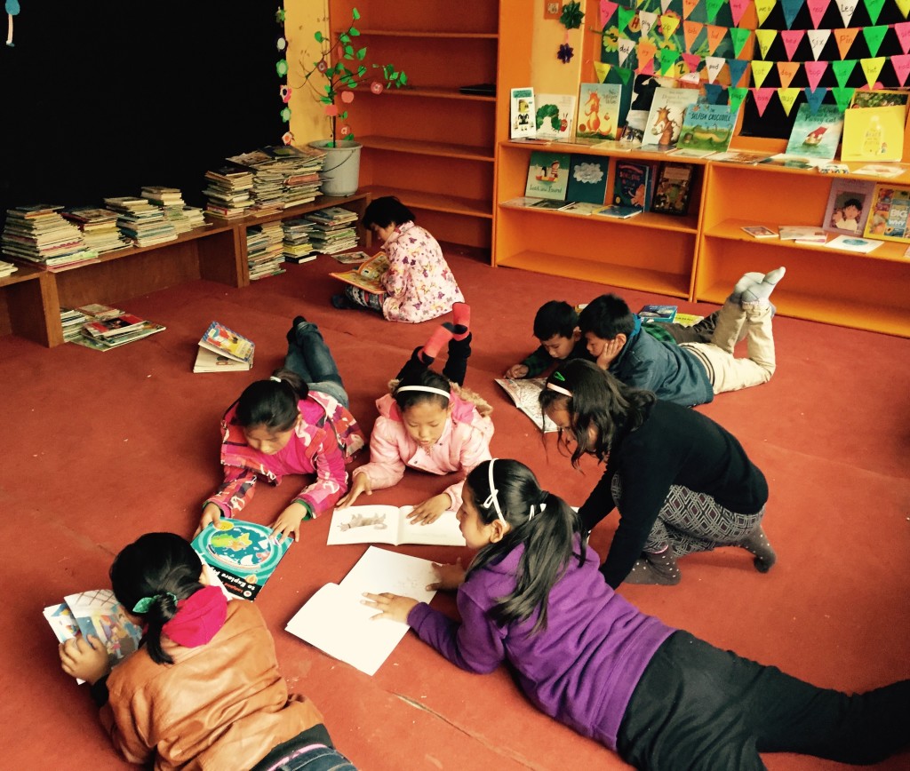
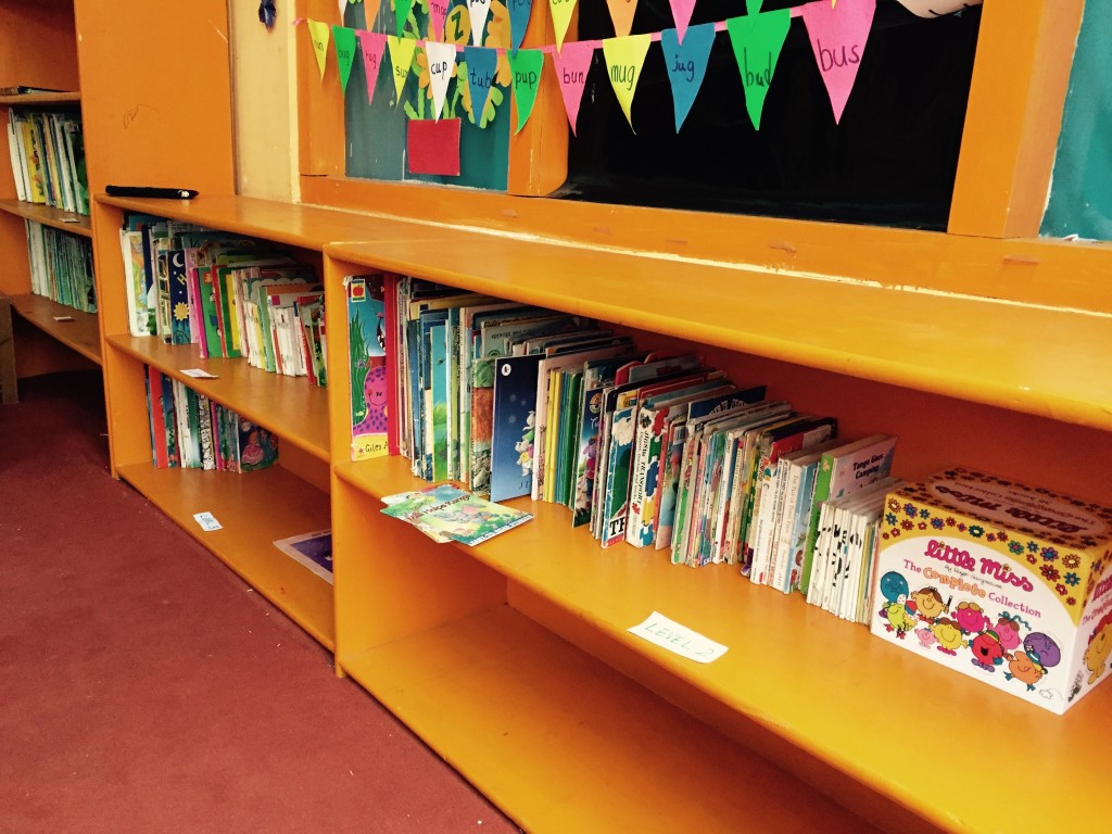
The surrounding materials matter as much as the map itself. A globe, compass, atlas and selection of translated books can turn a display into a small geography corner. A low shelf of travel writing, folktales and picture books encourages children to make connections without waiting for a formal lesson.
A thoughtful reading room might include:
- A map with major Himalayan places clearly marked
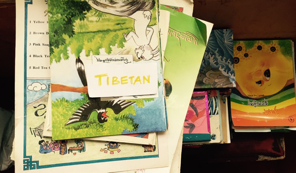
- Books representing local, regional and international voices
- Cards for recording new place names and questions
- Coloured yarn for tracing journeys from stories
- A safe display area for children’s drawings and research
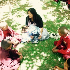
Volunteers can help by modelling curiosity rather than delivering a lecture. Asking a child to explain a route, describe a landscape or choose the next place to investigate gives ownership to the learner. The aim is not to test every capital city. It is to make geography feel approachable, relevant and connected to reading.
The map should also reflect the community around it. Local villages, monasteries, rivers and mountain passes deserve as much attention as famous global landmarks. When children see their own home represented with care, the wider world feels less like something that belongs only to distant visitors or wealthy travellers.
A Lasting Image Of Possibility
The strongest effect of a world map may appear quietly. A child may return to the same country several times, notice a new river or ask why two borders meet. Another may choose a book because its cover shows a place they have learned to locate. These small moments build confidence and establish learning as an active, pleasurable habit.
For young monks and children in Himalayan communities, the map can hold many kinds of futures. It can support schoolwork, inspire creative projects and encourage empathy across distance. It can also affirm that knowledge from a remote village has a place in a global conversation.
For Australian families, schools, libraries and donors, supporting reading rooms means supporting more than the delivery of books. It means helping create spaces where children can connect stories to places, places to people, and curiosity to lifelong learning. A practical starting point is a durable, child-height map placed beside good books, local knowledge and enough open space for children to trace their own journeys.